Maps in JavaScript
March 19 2013, 5:53 AM
- D3.js geo plugins
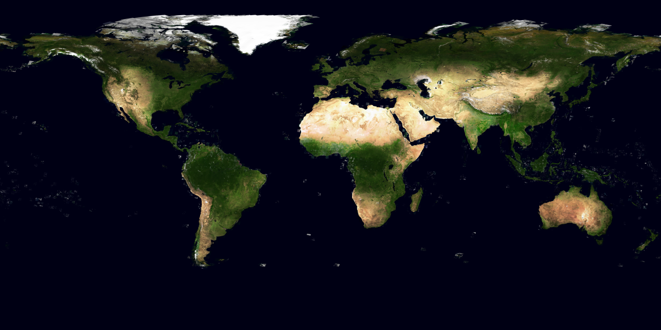
- Polymaps: e.g. Blue Mable (data from NASA Blue Mable project: 500 m per pixel, seasonal, with bathymetry)
- Leaflet.js
- Modest maps
For crazy customizations, D3.js is the best. Examples:
- Let's Make a Map blog post, with pointers to Geocommons and Natural Earth (data sources)
- World tour (HN)
- d3.geo.tile: panning and zooming, clipping
More about maps (partly via Whole-World Images list):
- True Marble 250-m satellite images, with 15-m available for purchase
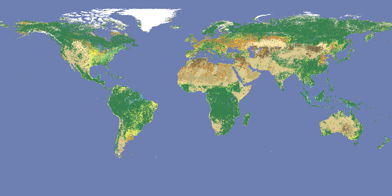
- True Marble 250-m landcover (see also Hal Shelton Revisited: Designing and Producing Natural-Color Maps with Satellite Land Cover Data)
- MapBox: Natural Earth example
- CloudMade

